Data sources:
Land cover maps
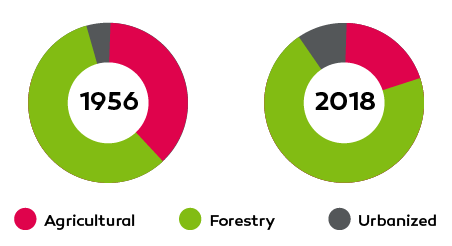
- 2018 land cover map published by the Cartographic and Geological Institute of Catalonia (ICGC). It is the latest deck map available, as the previous one was from 2009.
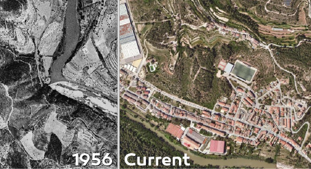
Land cover map generated from the 1956 orthophoto of the Barcelona province. This flight is better known as "the American flight" and represents an point of reference to understand what the territory was like before the economic and social development of the 60s and 70s of the last century. The Barcelona Provincial Council generated the orthophoto of 1956 for all the province of Barcelona from the original frames provided by the Ministry of Defence. In this project, the corporation counted on the collaboration of the Center for Ecological Research and Forestry Applications (CREAF) to generate the cover map.
Mosaic index
The Barcelona province mosaic index is built on own research, and it is determined based on the relationship between agricultural and forest areas:
- A predominantly forest landscape is indicated when the forest area is twice as much as the agricultural area, resulting in an index with values lower than 33.33%.
- Conversely, a predominantly agricultural landscape is identified when the agricultural area is twice as much as the forest area, resulting in an index with values higher than 66.67%.
- A mosaic landscape, characterized by a balance between agricultural and forest areas, is recognized when the index falls between 33.33% and 66.67%.
It is important to highlight that municipalities with a built-up area of more than 60% are categorized as having an "urbanized landscape."
Fire data from the last 20 years
Fire data from the last 20 years was used to provide further insight. This data was obtained from various sources, including:
Specifically, we have made a graphical crossing and associated the burnt surface with each municipality. For example, the 2021 fire started in Santa Coloma de Queralt, but burned mainly in Bellprat and Sant Martí de Tous. Therefore, we have associated with each municipality the corresponding burnt area.
Pastures
- SIGPAC viewers: Specifically, we have analyzed the surfaces of the SIGPAC with "PA" (woody pastures), "PR" (shrub pastures) and "PS" (Pastures) use, applying the admissibility coefficient, according to the data provided by Department of Climate Action, Food and Rural Agenda of the Government of Catalonia.
Grazing animals
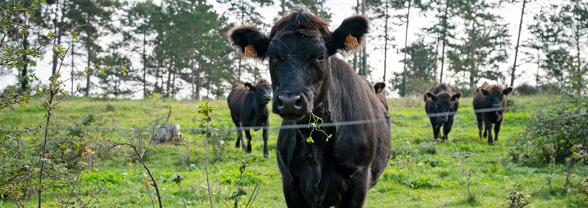
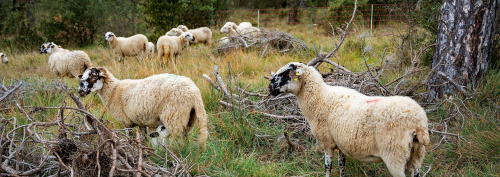
For our analysis, we have taken into account the species of sheep, goats, cattle and equids with an extensive or mixed production system, a "production and reproduction" type of operation, with a maximum capacity of more than 10 animals. As animals that can graze, we have added the capacity of females, males and fattening.
Forest Management
