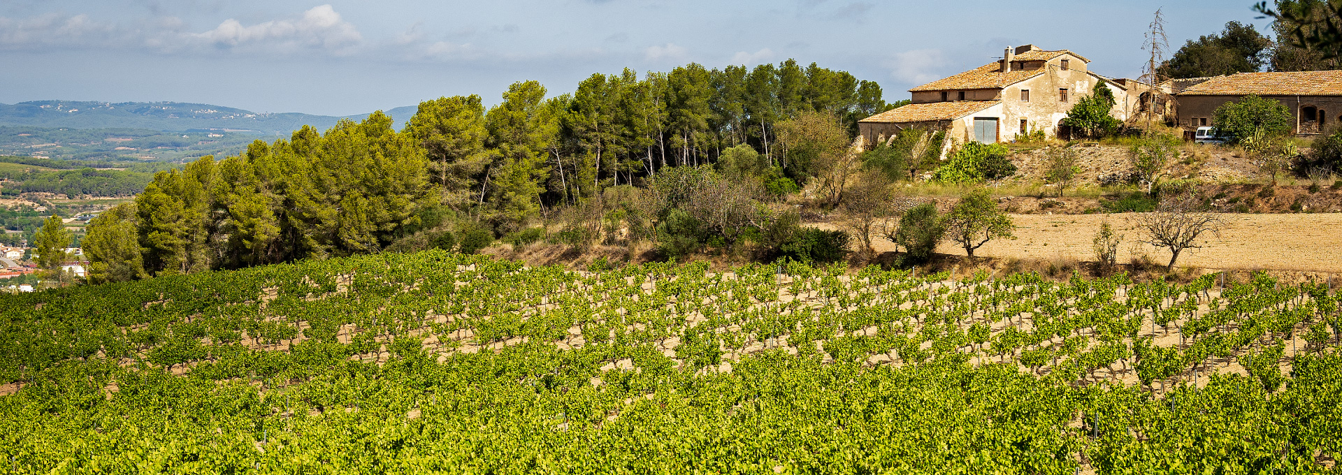
Vineyards in Subirats, Alt Penedès. PATXI URIZ | BARCELONA PROVINCIAL COUNCIL
Viewer of historical orthophotos
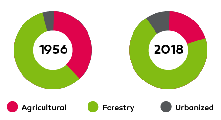
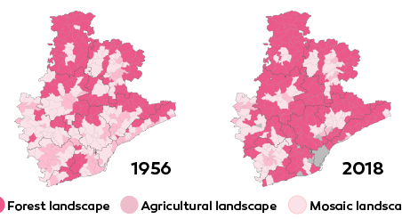
The visualization of orthophotos captured at the province in Barcelona allows to identify the areas where there are forests, pastures and crops, and to study their evolution in various periods.
Source: Original creation based on ICGC orthophotos (1945-2024)
Check out our interactive viewer that displays historical and modern orthophotos of the province in Barcelona. The tool allows you to compare how the area has evolved over time, showing changes in land use, urban expansion, reforestation, and agricultural land conversion. This provides valuable insights for landscape analysis and spatial planning.
Creation date
Update date
More information about
Related data
You may be interested