Environment
Explore the indicators revealing the impact of our food choices and how they shape the agrarian landscape of the province of Barcelona.
Every data point tells a unique story. Discover it!
Investiga
Dades:
Crops
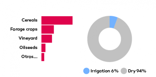
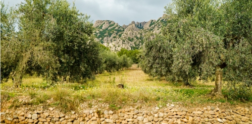
Find out which are the predominant crops in your area, how they have changed over time, the type of irrigation used, farm ownership, and other relevant aspects of the agricultural sector in the province of Barcelona.
Sources: Map of crops and exploitations of the DUN (2025)
Agroforestry Mosaic
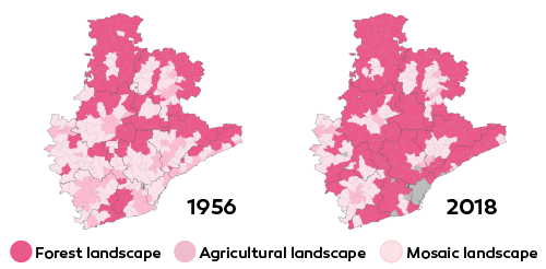
Does Barcelona's province have a landscape that is conductive to large forest fires? To answer this question, an analysis of the mosaic of crops and forests in the area has been conducted.
Source: Own research based on land cover maps from 1956 and 2018
Land Use
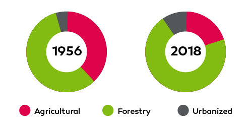
Do you know how land use has changed in Barcelona's province since the 1950s? Find out in this detailed analysis.
Source: Land cover maps from 1956 and 2018
Organic agriculture
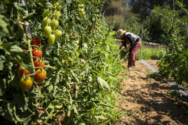
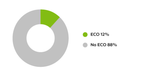
How prevalent are organic farming practices in the province of Barcelona? What is the extent of land dedicated to organic farming, and which crops are most commonly produced using organic methods in our region? Get the answers.
Source: DUN-SIGPAC crop map and CCPAE data (2019)


