I03 Original Potencial 221214_DTA_Happycultors_PatxiUriz_Esparreguera_BancdeTerres_SergiiTatiana_Top_DSC4469
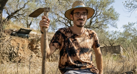
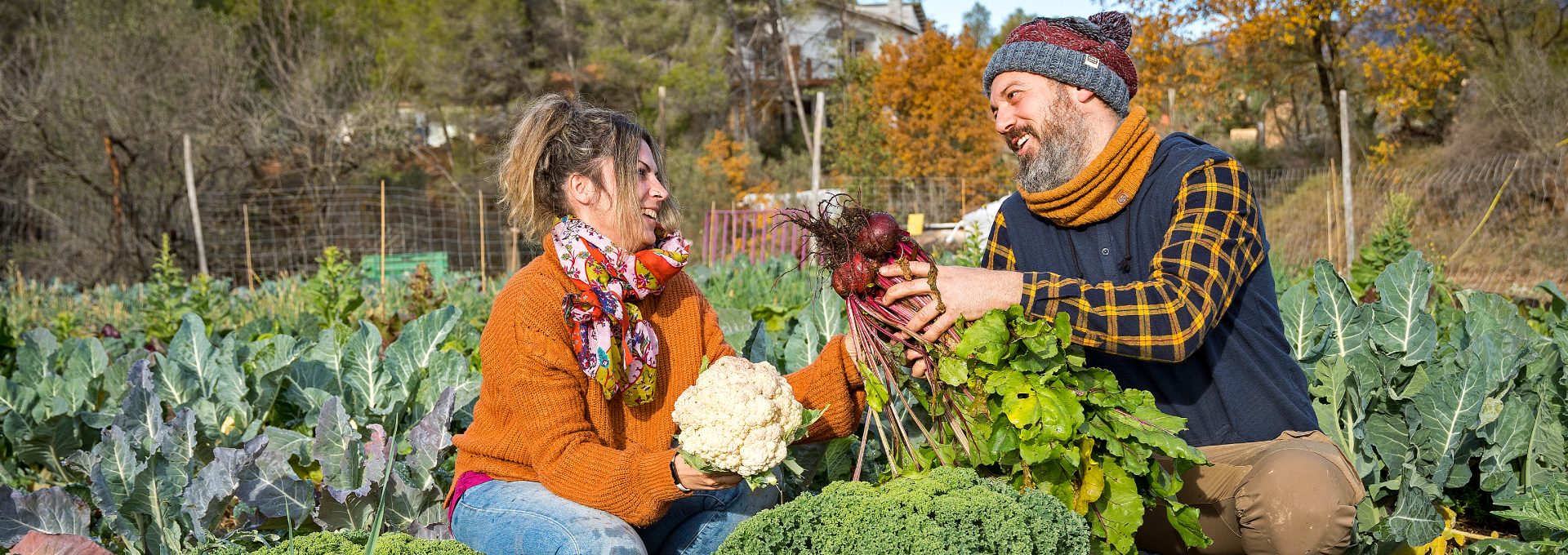
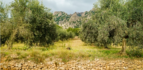
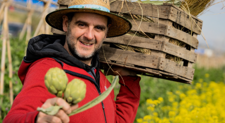
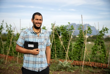
Tatiana Segura and Sergi Ruiz, tenants of the Montserrat Rural Park land bank. PATXI URIZ | BARCELONA PROVINCIAL COUNCIL

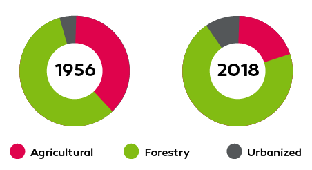
Land Recovery Potential

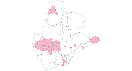
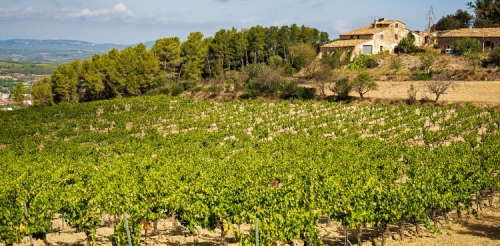
We identify currently abandoned or disused agricultural lands in the province of Barcelona.
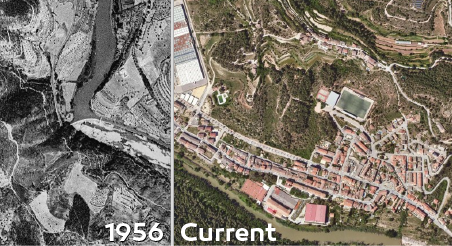
 

Source: 1956 Land Cover Map, SIGPAC, MUC and PEIN

We analyze how the agroforestry mosaic has changed in Barcelona's province, and pinpoint agricultural land that could be used for farming.

Methodological note

Data sources:

  • 1956 land cover map
  • Geographical Information System of the Common Agricultural Policy (SIGPAC) 
  • Urban Map of Catalonia (MUC) 
  • Areas of Natural Interest Plan (PEIN)

In order to carry out this analysis report, we started by studying how the landscape of the demarcation has changed in the last sixty years. With this aim, we have relied on the roof maps of 1956 and 2018. We have also examined the state of urban planning in the territory by consulting the Urban Map of Catalonia (MUC) and the Areas of Natural Interest Plan (COMB). To understand the evolution of the primary sector, we used data from the Single Agricultural Declaration (DUN). These records have allowed us to understand the types of crops grown and the actual uses of the land, as well as its suitability for food production. In this sense, we have taken into account two particularly significant aspects: the degree of inclination of the land and the surface area of ​​the farms.

It is important to reiterate that the data obtained show a theoretical and general framework, not a reality verified on the ground. In other words, they point to the potential of farms, plots and fields that could be recovered for food production, but unfortunately we do not know the specific characteristics of the land

Creation date
Update date
More information about
Share
You may be interested