The fourth BCN Smart Rural Data Bite, entitled "The Guardians of the Land", addresses the state of protection and management of agricultural spaces in the demarcation of Barcelona. According to this study, 23% of the territory's agricultural surface is included in a singular agricultural area or natural park. Among the twelve districts of Barcelona, Anoia is the one with the most protected land and is also the one that receives the most requests for the installation of renewable energy parks.
Apart from these outstanding data, other interesting results that emerge from the new analysis report prepared by the BCN Smart Rural team are the following:
- Of the 23% of the agricultural area that does have some form of protection or management, 13% is part of an agricultural park or similar and 10% is only part of a natural park.
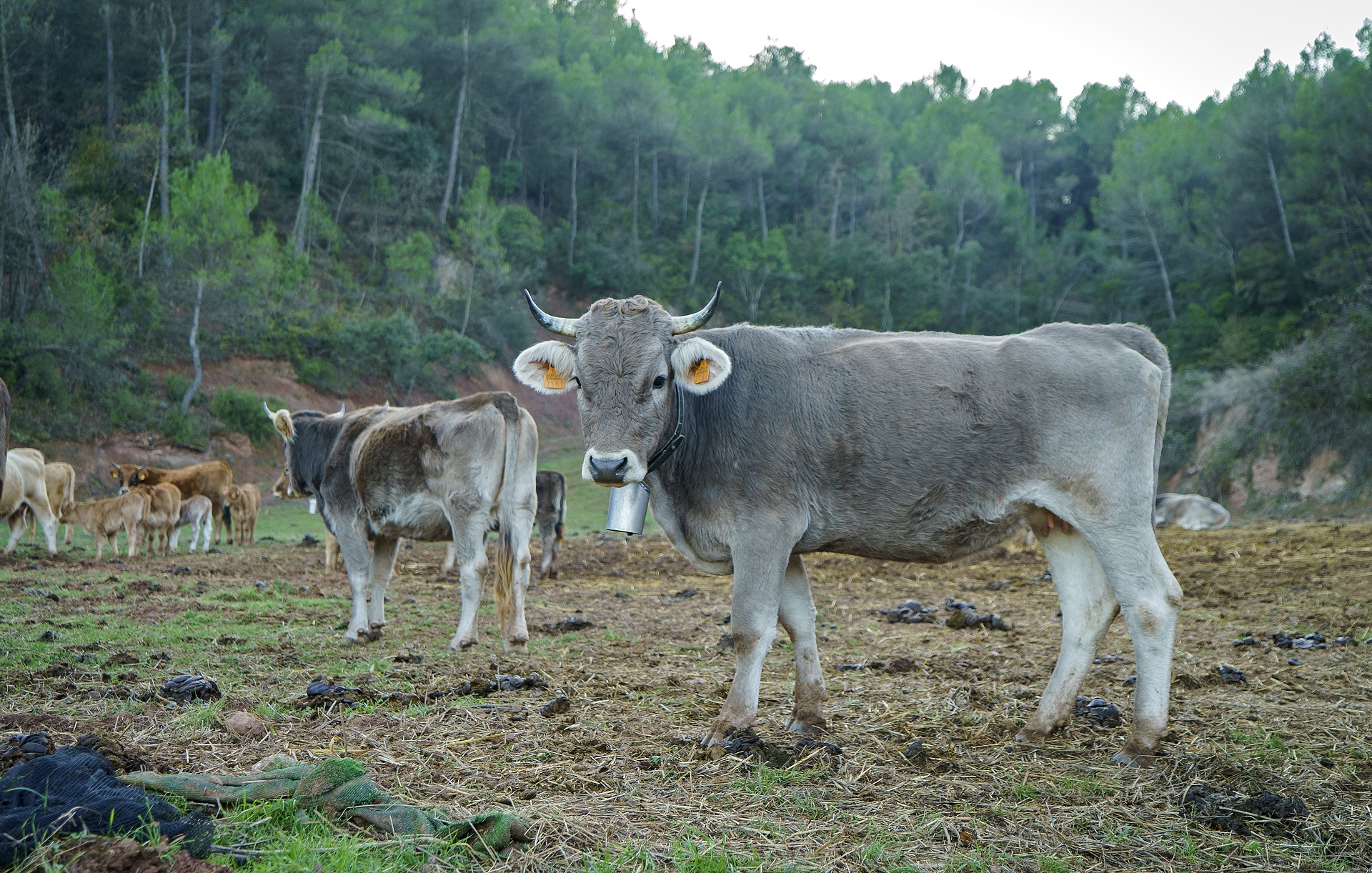
- In the demarcation of Barcelona, the crops that are grown within the unique agricultural spaces and natural parks are, for the most part, dry land: only 12% of the agricultural surface protected or managed with these figures is dedicated to irrigated crops. Having said that, 35% of the orchards in the demarcation are under the umbrella of a singular agricultural space.
- Anoia is the Barcelona region with more land protected or managed within an agricultural or natural park. Specifically, it has 16,537 hectares, which represents 53% of its total agricultural area. Of these hectares, 93.5% are included in agricultural parks or similar, and the rest in natural parks.
- Of the twelve districts in Barcelona, half do not have land protected or managed as an agricultural park or similar: they are Barcelonès, Garraf, Alt Penedès, Moianès, Osona and Berguedà. Having said that, they do have agricultural land within the Plan of Natural Interest Areas of Catalonia (PEIN); especially Berguedà, Osona and Moianès.
- In the demarcation of Barcelona, the municipality with the most land protected or managed within an agricultural or natural park is Òdena; it has exactly 2,340 hectares. It is followed by Piera, with 2,135 hectares. It is worth saying that these two towns are part of the Ôdena Basin Agrarian Park and the Montserrat Rural Park, respectively.
- If we focus specifically on the municipalities with more protected land within an agricultural park in the territory, Òdena wins again. And if we do it in the towns that have them inside a natural park, we discover that the first is Moià.
- If we only analyze the irrigated areas, Tordera is the municipality in the demarcation of Barcelona with the most protected land: specifically, 831 hectares of the municipality are dedicated to vegetable and fruit crops, which represents 65% of the total area protected agrarian This town is one of the five municipalities that are part of the Baixa Tordera Agrarian Space.
- Of the eight unique agricultural areas in the demarcation of Barcelona, the ones with the most protected or managed agricultural area are the Òdena Basin Agrarian Park, with 11,344 hectares; the Montserrat Rural Park, with 8,554 hectares; and the Baix Llobregat Agrarian Park, with 2,565 hectares.
- The main dangers that threaten farmland today are the progressive urbanization of agricultural land and the occupation of idle farmland by forest masses. The threat related to the use of agricultural land to install renewable energy generation infrastructure is much more recent, but no less alarming.
- Concerning this last point, the demarcation of Barcelona has received 698 proposals for the installation of solar parks and windmills. Of these, 305 requests correspond to Anoia, and this means that it is currently the region most threatened by the concentration of renewable energy infrastructures.
The origin of the data
To obtain these results, the authors of the "The Guardians of the Land" report have compared data from the Geographical Information System of Agricultural Plots (SIGPAC) and the cartographic bases of the limits of unique agricultural spaces and the Natural Interest Areas Plan of Catalonia (PEIN). More specifically, they have analyzed the agricultural surfaces included in some form of protection or management and have identified the lands that are within agricultural parks and those that are within natural parks. Next, they looked at the main dangers that threaten agricultural areas.
To find out the agricultural surface that is urbanized or occupied by forest masses, they used the latest coverage map published by the Cartographic and Geological Institute of Catalonia and the map originated from the 1956 orthophoto of the demarcation of Barcelona. The map of applications for the implementation of renewable energy projects has been drawn from data provided by the Department of Territory and Sustainability of the Generalitat de Catalunya.
The need to protect the agricultural areas in proximity
The analysis of the general data shows that, of the 25,520 hectares that are currently in the demarcation of Barcelona within a figure of protection or management created specifically for the preservation and dynamism of agricultural activity, only 16% have also achieved urban protection of agricultural land. And this is "a worrying fact", according to Sònia Callau, head of the Territorial Directorate of the Barcelona Provincial Council, since, as was highlighted in the first BCN Smart Rural Data Bite, "Barcelona counties have lost 42% of arable land since the fifties". "It must be understood that agricultural land is and will be a scarce and strategic resource that needs to be preserved", adds Callau.
For more information about this data, please contact Lucía Nieto and Daniel Farré, land engineers and GIS experts of the BCN Smart Rural strategy.
— BCN Smart Rural Editorial —