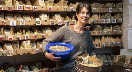
Products of Lluçanès. PATXI URIZ | BARCELONA PROVINCIAL COUNCIL
Health Facilities
To ensure the physical and mental well-being of those working in the agri-food sector in the province of Barcelona, we are providing a map showing the locations of Primary Care Centers, hospitals, and pharmacies in all municipalities.
Source: Public facilities by the Government of Catalonia (2024)
This interactive map displays the locations of various health facilities, including Primary Care Centers (CAP), hospitals, and pharmacies. This tool enables easy access to information on the availability and proximity of essential health centers for the rural and urban population.
It also allows for the planning of necessary services for the agri-food sector in the province of Barcelona.
Creation date
Update date
More information about
Related data


Related actions

You may be interested