We offer you a taste of the type of data that you will find on the future website of the BCN Smart Rural Observatory, a digital platform that wants to help local entities in the territory to improve their food governance in an intelligent and sustainable way.
The portal will go into operation at the end of this year within the framework of the European BCN Smart Rural project, but, in the meantime, we will offer you some essential indicators to understand the agri-food system of the demarcation at an economic, social and environmental level.
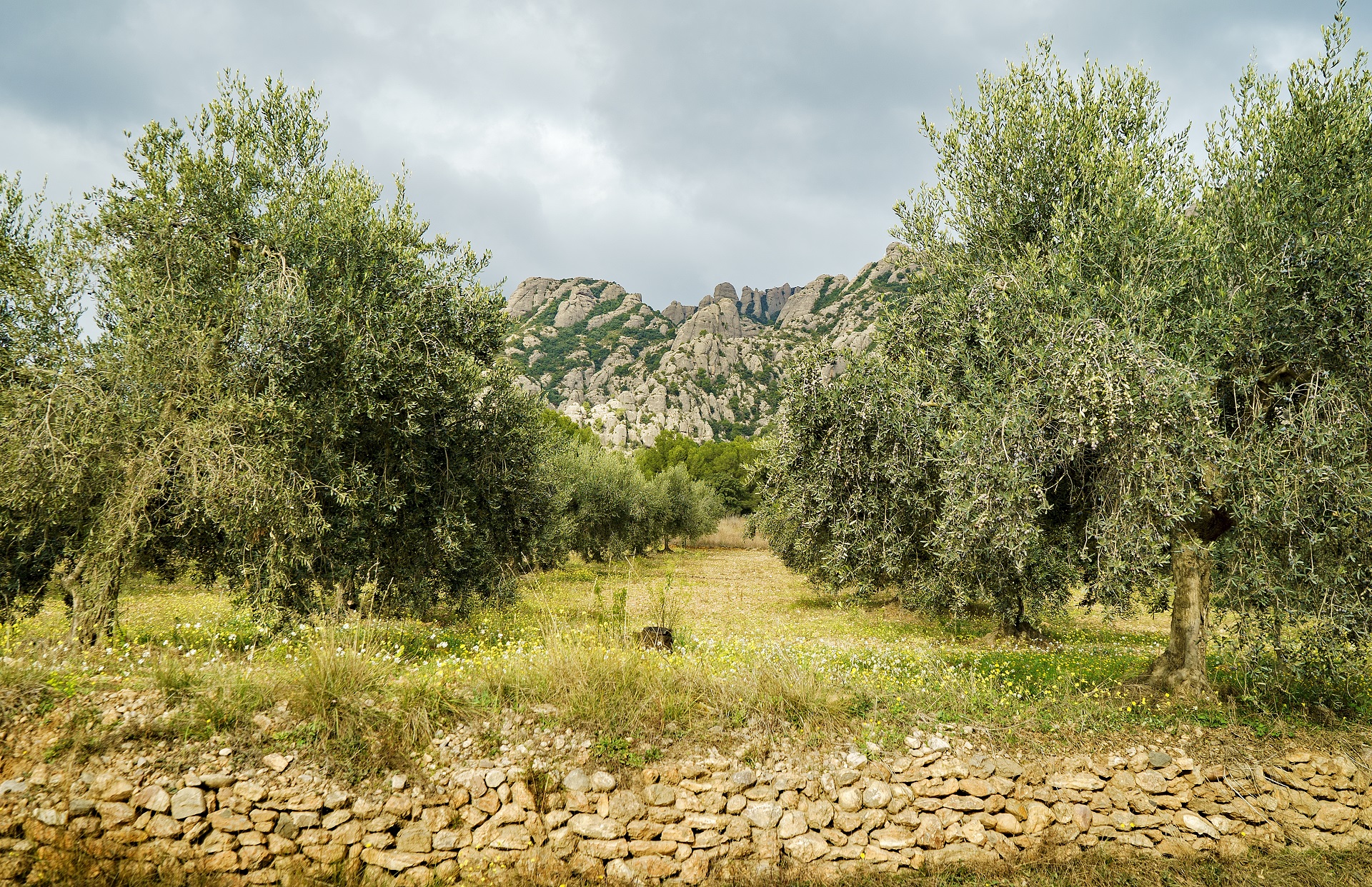
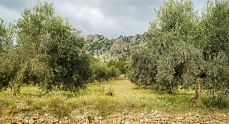
On this occasion, the data tasting aims to show the evolution of the main land uses in the Barcelona district, a territory very rich in agricultural and forestry spaces. If we compare historical data and current data, how has the general distribution of the territory changed in the last sixty years? Has farmland been lost or, on the contrary, has it been gained? What are the towns with the smallest agricultural area? And the oldest?
We invite you to discover, analyze and share the contents of the interactive map that we have prepared for you and which you can consult at this link.
Among the most significant data, you will find the following:
- Between 1956 and 2018, the Barcelona province has lost 42% of its agricultural area. Specifically, 120,500 hectares, an area similar to the area of Barcelona, Baix Llobregat and Alt Penedès.
- In the territory as a whole, the loss of agricultural area is about 2,000 hectares per year on average (specifically, 1,944 hectares), equivalent to 2,720 football fields.
- 60% of the lost crop fields have been converted into forests, which represents a reduction in the agroforestry mosaic landscape and an increase in the risk of large forest fires. The rest of the lost crop fields have been urbanized.
- Since the late 1950s, the urbanized area in the Barcelona district has multiplied by four.
- El Barcelonés is the Barcelona county that has developed the most land since 1956. According to the latest available data, only 0.7% of its surface is dedicated to crops.
- Alt Penedès is the most agricultural county in the territory, with 25,428 hectares of crop fields.
- Berguedà is the Barcelona county with the largest forest area. Specifically, forests occupy 86% of its land.
- 21.4% of the surface of the province of Barcelona is dedicated to crops. Specifically, 164,267 hectares, according to 2018 data.
- Some fifty municipalities have more than 40% agricultural area. This figure represents 16% of the towns and cities in the Barcelona district.
- In the Barcelona province, 68% of the municipalities have more than 50% of their surface occupied by forests and bushes.
For more information about this data, please contact Lucía Nieto and Daniel Farré, territorial engineers and GIS experts of the BCN Smart Rural strategy.
— BCN Smart Rural Editorial —